👷🏻♀️Intro to Civil Engineering Unit 4 Review
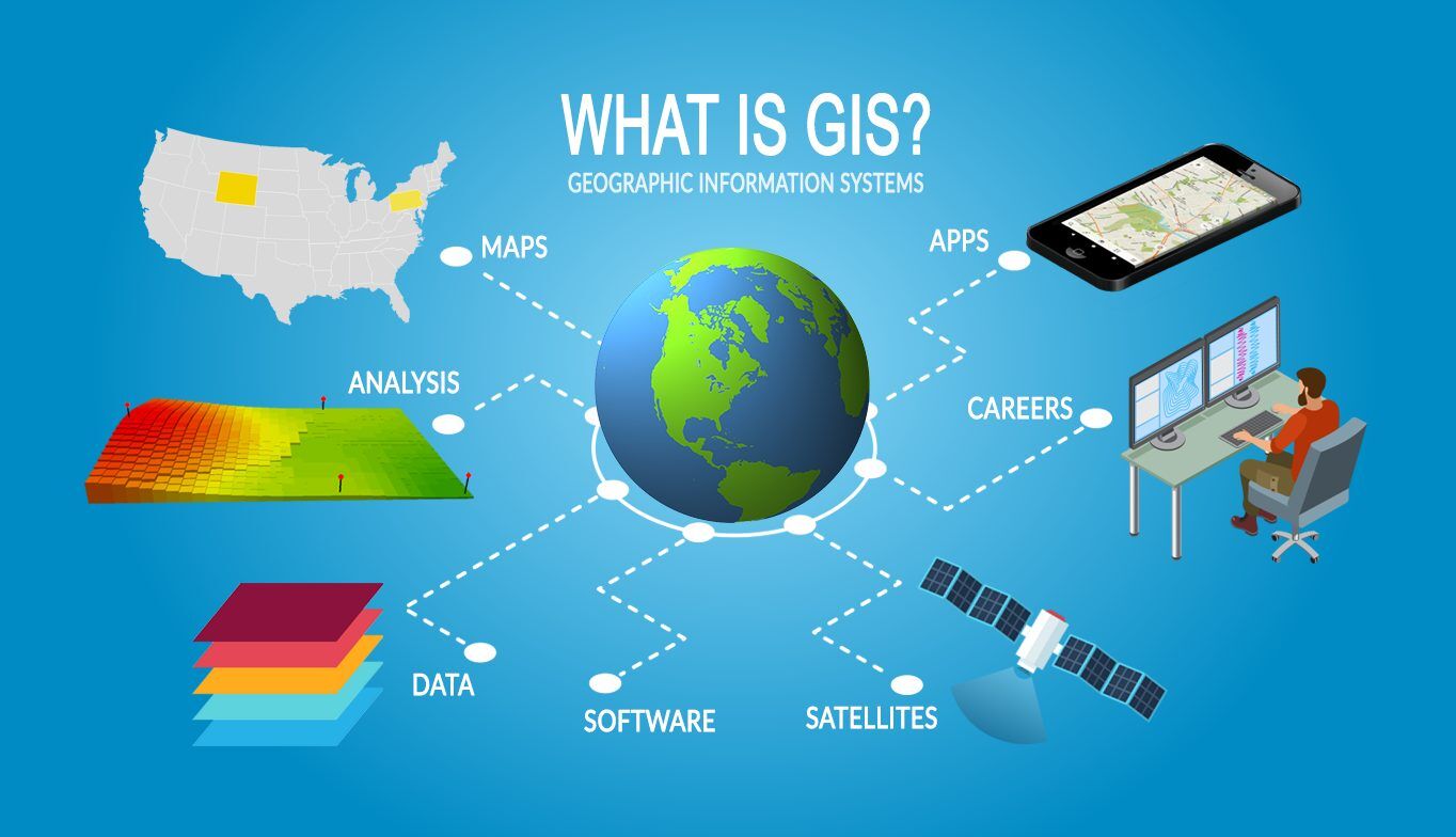
4.4 Geographic Information Systems (GIS)
4.4 Geographic Information Systems (GIS)
Unit & Topic Study Guides
Introduction to Civil Engineering
Math and Physics for Civil Engineering
Engineering Graphics & Design
Surveying and Geomatics
Construction Materials
Soil Mechanics & Foundations
Structural Analysis & Design Fundamentals
Fluid Mechanics & Hydraulics
Water Resources & Environmental Engineering
Transportation Engineering
Construction Management
GIS Applications in Civil Engineering
Geographic Information Systems (GIS) are computer-based tools that capture, store, analyze, and visualize spatial data. For civil engineers, GIS turns geographic information into actionable insight, whether that's choosing a route for a new highway, mapping flood risk zones, or tracking the condition of thousands of infrastructure assets across a city.
This section covers GIS fundamentals, the spatial analysis techniques you'll need to know, how surveying and GPS data feed into GIS, and how engineers use GIS to support real-world decision-making.
GIS Fundamentals and Components
A GIS isn't just software. It's a system made up of five components working together:
- Hardware — computers, servers, GPS receivers, and other devices that run the system
- Software — the programs that perform spatial analysis and visualization (more on specific tools below)
- Data — the geographic and attribute information the system works with
- People — the engineers, analysts, and technicians who operate the system and interpret results
- Processes — the workflows and methods used to collect, manage, and analyze data
How GIS Represents the World
GIS uses two main data models to represent real-world features:
- Vector data uses points, lines, and polygons. A fire hydrant might be a point, a road centerline a line, and a parcel boundary a polygon. Vector data is precise and works well for discrete features.
- Raster data uses a grid of cells (pixels), where each cell holds a value. Satellite imagery and elevation models are common raster datasets. Raster works well for continuous phenomena like temperature or elevation.
One of the most powerful concepts in GIS is layering. Each data type (roads, parcels, soil types, flood zones) lives on its own layer. You can stack and combine these layers to see relationships that would be impossible to spot from a single dataset alone. This layering capability is what makes multi-criteria decision-making possible.
GIS Applications in Civil Engineering Subdisciplines
GIS shows up across nearly every branch of civil engineering:
- Transportation planning — Route optimization, traffic flow analysis, and infrastructure management. For example, a GIS can model how adding a new interchange would change commute times across an entire metro area.
- Environmental management — Environmental impact assessments, pollution source tracking, and habitat conservation mapping. GIS can overlay species habitat data with a proposed construction footprint to identify conflicts early.
- Urban planning — Zoning analysis, land use classification, and population distribution studies. Planners use GIS to visualize how a city's growth patterns interact with existing infrastructure capacity.
- Infrastructure asset management — Inventory tracking, maintenance scheduling, and lifecycle cost analysis. A water utility might use GIS to map every pipe segment, its age, material, and repair history, then prioritize replacements.
GIS Spatial Analysis Techniques
These are the core analysis methods you should know:
Overlay analysis combines multiple data layers to reveal spatial relationships. For instance, you might overlay soil type, slope, and land ownership layers to find the most suitable parcels for a new retention pond.
Buffer analysis creates zones of a specified distance around features. If you buffer 100 meters around a river centerline, you can identify every structure within that flood-risk corridor.
Network analysis evaluates connectivity and flow through linear systems like road networks or utility grids. This is how engineers determine the shortest emergency response route or find the optimal location for a new fire station based on response time.
Terrain analysis uses elevation data to examine topographic characteristics. Engineers rely on it for site grading, cut-and-fill volume calculations, and identifying natural drainage patterns.
Proximity analysis assesses relationships between features based on distance. It's similar to buffering but often involves measuring nearest-neighbor distances or calculating travel time rather than simple straight-line buffers.
Spatial statistics quantify patterns in geographic data. Techniques like cluster analysis can reveal, for example, where pavement failures concentrate along a highway corridor, pointing to underlying causes like poor drainage.
GIS Software and Data Management

Common Software Tools
- ArcGIS (Esri) — The most widely used commercial GIS platform in civil engineering. It offers a comprehensive toolset for analysis, mapping, and data management.
- QGIS — A free, open-source alternative with a growing user base. It handles most of the same tasks as ArcGIS and supports a wide range of plugins.
- AutoCAD Map 3D — Bridges the gap between CAD and GIS, which is useful because civil engineers often need to move between design drawings and spatial databases.
Managing Spatial Data
GIS data management involves creating, editing, and maintaining spatial databases. Each geographic feature has an attribute table attached to it, storing non-spatial information (a road segment's attribute table might include speed limit, surface type, and last inspection date). Metadata documents where the data came from, when it was collected, and how accurate it is.
Query functions let you extract specific subsets of data based on spatial or attribute criteria. For example, you could query "show me all properties within the 100-year flood zone that were built before 1990" to prioritize retrofit efforts.
GIS software also supports data interoperability, meaning it can import and convert various formats: CAD files, satellite imagery, GPS field data, spreadsheets, and more. This flexibility is critical because civil engineering projects pull data from many different sources.
Data Visualization and Communication
How you present GIS results matters as much as the analysis itself:
- Thematic maps display data variations using color schemes or graduated symbols. A thematic map of traffic volume might shade road segments from green (low) to red (high), making congestion patterns immediately visible.
- 3D modeling creates realistic terrain and structure representations. These are especially useful for visual impact assessments, helping stakeholders see how a proposed bridge or building will look in its actual landscape.
- Interactive web maps allow non-technical audiences to explore spatial data through a browser. Many agencies use these for public engagement, letting residents view proposed projects and provide feedback tied to specific locations.
Integrating Surveying and GPS Data with GIS
Survey and GPS Data Import
Topographic and boundary survey data provide the accurate base maps and terrain models that GIS analysis depends on. Without good survey data, even the most sophisticated GIS analysis produces unreliable results.
GPS integration enables real-time data collection in the field. A crew inspecting stormwater inlets, for example, can record each inlet's location and condition on a GPS-enabled tablet, and that data flows directly into the GIS database.
Coordinate system transformations and datum conversions are necessary whenever you combine data collected using different reference systems. If your survey used a local state plane coordinate system but your satellite imagery is in WGS 84, you need to transform one to match the other, or your layers won't align correctly.
Advanced Data Integration
- LiDAR (Light Detection and Ranging) uses laser pulses to create extremely detailed 3D point clouds of terrain and structures. LiDAR data can capture elevation changes as small as a few centimeters, making it valuable for floodplain mapping, corridor surveys, and infrastructure inspection.
- Digital Elevation Models (DEMs) are raster grids derived from survey, GPS, or LiDAR data where each cell stores an elevation value. DEMs support hydrological analysis (where does water flow?), site planning, and earthwork volume calculations. Contour maps are often generated from DEMs to show elevation in a more traditional format.
- Spatial adjustment techniques like rubber sheeting and conflation align datasets from different sources that don't quite match up. Rubber sheeting stretches or compresses one dataset to fit known control points, while conflation merges features from two datasets into a single, more accurate layer.
GIS for Decision-Making in Civil Engineering
Multi-Criteria Decision Analysis (MCDA)
MCDA is one of the most practical GIS applications for engineers. It works by evaluating multiple weighted factors simultaneously to identify optimal locations or solutions.
Here's how a typical GIS-based MCDA process works:
- Define the objective (e.g., find the best site for a new wastewater treatment plant)
- Identify relevant criteria (distance from residential areas, soil permeability, slope, proximity to discharge point, land cost)
- Assign weights to each criterion based on importance
- Create a GIS layer for each criterion, scored on a common scale
- Use overlay analysis to combine the weighted layers into a single suitability map
- Evaluate the highest-scoring areas and refine with field verification
Scenario modeling extends this process by letting engineers test "what if" questions. What if the population grows 20% in the next decade? What if a 500-year flood occurs? GIS can visualize each scenario, which is invaluable for stakeholder engagement and public meetings.
Network and Hydrological Analysis
Network analysis in a decision-making context goes beyond simple routing. Engineers use it to evaluate where to locate new facilities based on travel-time coverage, how closing a road for construction affects the surrounding network, and where bottlenecks will form under projected future traffic volumes.
Hydrological modeling in GIS traces how water moves across terrain. Using a DEM, the software can delineate watershed boundaries, calculate flow accumulation, and estimate runoff volumes. This directly supports flood risk assessment, stormwater system design, and watershed management planning.
Asset Management and Environmental Assessment
GIS-based asset management systems store the location, condition, age, and maintenance history of every infrastructure component. A city's public works department might use this to generate maps showing which road segments are due for resurfacing, prioritized by condition rating and traffic volume.
Spatial interpolation estimates unknown values at locations between measured sample points. Two common methods:
- Inverse Distance Weighting (IDW) assumes closer points have more influence than distant ones. It's simpler and works well when sample points are evenly distributed.
- Kriging is a geostatistical method that accounts for spatial autocorrelation (the tendency for nearby values to be similar). It's more mathematically complex but often produces better estimates, especially for environmental data like soil contamination levels or groundwater depth.
Both techniques are used for site characterization, environmental assessments, and any situation where you have scattered measurements but need a continuous surface.