🗺️Intro to World Geography Unit 1 Review
1.4 Spatial Thinking and Geographic Concepts
1.4 Spatial Thinking and Geographic Concepts
Unit & Topic Study Guides
Introduction to Geography
Earth's Physical Systems
Human-Environment Interaction
Population and Migration
Cultural Geography
Political Geography
Economic Geography
Urban Geography
Regional Geography: The Americas
Europe and Russia: Regional Geography
Africa and Middle East: Regional Geography
Asia and Oceania: Regional Geography
Spatial Thinking in Geography
Spatial thinking is the core skill of geography. It's how geographers visualize and analyze where things are on Earth's surface, how they relate to each other, and why those patterns exist. Understanding these concepts gives you a framework for making sense of everything from neighborhood layouts to global climate systems.
Concepts and Components of Spatial Thinking
Spatial thinking has three key components:
- Concepts of space — the ideas geographers use to describe location, distance, and arrangement
- Tools of representation — maps, models, and technologies that make spatial data visible
- Processes of reasoning — the logic you apply to identify patterns, distributions, and relationships
These components work together. You observe something on a map (representation), recognize a pattern (reasoning), and explain it using geographic ideas (concepts of space).
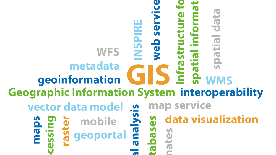
Spatial thinking also powers modern technology. Geographic Information Systems (GIS) and other geospatial tools let geographers layer data, run analyses, and visualize complex patterns that would be impossible to spot otherwise.
Applications and Importance of Spatial Thinking
Spatial thinking shows up across many fields, not just geography class:
- Urban planning — deciding where to build new schools, hospitals, or transit lines based on population distribution
- Environmental management — identifying critical habitats for endangered species or tracking deforestation over time
- Business strategy — analyzing where customers live to decide where to open a new store
These applications make spatial thinking increasingly valuable in the job market, especially in data analysis, logistics, and environmental work. At its core, spatial thinking gives decision-makers visual and analytical tools to interpret complex data and act on it.
Key Geographic Concepts
Location and Place
Location is the position of something on Earth's surface. It comes in two forms:
- Absolute location — a precise, fixed position using coordinates like latitude and longitude (e.g., New York City is at roughly 40.7°N, 74.0°W)
- Relative location — a description based on nearby landmarks or other places (e.g., "New York City is on the northeastern coast of the United States")
Place goes deeper than location. It describes the unique physical and human characteristics that make one area different from another.
- Tangible attributes include things like architecture, climate, and topography
- Intangible attributes include cultural traditions, historical significance, and the "feel" of a community
Two spots can share the same general location type but be completely different places because of these characteristics.
Region and Scale
A region is a geographic area defined by shared characteristics. Geographers recognize three types:
- Formal regions — defined by official boundaries or measurable traits (France, the state of Texas, the Sahara Desert)
- Functional regions — organized around a central hub or activity (a metropolitan area centered on a city, a pizza delivery zone)
- Vernacular regions — defined by popular perception rather than strict boundaries (the "American Midwest," the "Deep South")
Scale refers to the spatial extent at which you study something. The same phenomenon can look very different depending on scale. For example, air pollution might seem like a local problem at the neighborhood scale, but zooming out to the continental scale reveals patterns tied to wind currents and industrial corridors. Common scales range from neighborhood → city → state → country → continent → global.
Spatial Interaction and Diffusion
Spatial interaction describes the movement, flow, and connections between different locations. Two important models help explain it:
- Distance decay — interaction between two places decreases as the distance between them increases. You're more likely to shop at a store 5 minutes away than one 45 minutes away.
- Gravity model — larger places and closer places interact more. A big city pulls in commuters from a wider area than a small town does.
Geographers also distinguish between absolute space (measurable, physical distances in miles or kilometers) and relative space (perceived distances shaped by travel time, cost, or cultural connections). Two cities 200 miles apart might feel "close" if connected by a high-speed train, or "far" if separated by mountains with no direct road.
Spatial diffusion explains how ideas, innovations, or phenomena spread across space over time:
- Expansion diffusion — something spreads outward from its origin while staying strong at the source (think of a trend going viral on social media while remaining popular where it started)
- Relocation diffusion — people physically move to a new area and bring ideas or practices with them (immigrants bringing cuisine or language to a new country)
Applying Spatial Thinking
Analytical Techniques and Tools
Geographers use several types of maps to visualize spatial patterns:
- Thematic maps — display the distribution of a single theme, like rainfall or population
- Choropleth maps — use color gradients to show statistical data by area (darker shading = higher values)
- Cartograms — distort the size of regions based on a variable (a cartogram of GDP would make the U.S. and China appear huge, while smaller economies shrink)
GIS techniques allow for more advanced analysis:
- Overlay analysis — stacking multiple data layers (e.g., combining flood risk zones with population density to find vulnerable communities)
- Buffer analysis — creating zones around features (e.g., a 1-mile buffer around a factory to study pollution exposure)
- Network analysis — studying connectivity and flow through systems like road or river networks
Spatial statistics help quantify patterns. Measures of central tendency (like the mean center of a population), measures of dispersion (how spread out features are), and spatial autocorrelation (whether nearby things tend to be similar) all give geographers precise ways to describe what they observe.

Advanced Applications and Methods
Remote sensing uses satellite or aerial imagery to detect and monitor changes over time:
- Land use changes like urban expansion or deforestation
- Vegetation health, useful for tracking crop conditions or forest regrowth
- Physical processes like coastal erosion or glacier retreat
Two related concepts guide deeper analysis. Spatial dependence means that things closer together tend to be more alike. Spatial heterogeneity means that geographic processes vary from place to place. Both shape how geographers interpret data.
For complex decisions, geographers use multi-criteria decision analysis. This involves weighing multiple factors at once. For example, choosing a site for a new hospital might require balancing accessibility, land cost, proximity to existing services, and environmental impact.
Geographers also develop and test hypotheses using geospatial data. A researcher might investigate whether neighborhoods with fewer grocery stores have higher rates of diet-related illness, or whether proximity to a highway corridor correlates with economic growth.
Significance of Spatial Perspectives
Addressing Global Challenges
Spatial analysis can reveal patterns that aren't obvious from raw data alone. Mapping income levels across a city, for instance, might expose stark inequalities between neighborhoods only a few blocks apart. Mapping environmental data can pinpoint degradation hotspots that need urgent attention.
Spatial thinking plays a direct role in tackling major global challenges:
- Climate change — modeling which coastal areas face the highest flood risk, then planning adaptation strategies
- Urbanization — optimizing city layouts and managing resource allocation as populations grow
- Resource management — balancing conservation needs with economic use of land and water
These spatial perspectives feed directly into policy. Commuter flow analysis can reshape public transit routes. Disease mapping can guide where to deploy health interventions. Spatial data helps emergency responders reach affected areas faster after a disaster.
Impact and Ethical Considerations
Spatial technologies have improved fields like disaster response (real-time mapping of affected areas), public health (tracking how diseases spread geographically), and urban planning (3D modeling for sustainable development).
But spatial analysis also raises ethical questions worth considering:
- Privacy — location-based services collect detailed data about where people go and when
- Bias in representation — maps can distort reality depending on what data is included or excluded, and who made the map
- Misuse of geographic information — spatial data could be used for surveillance or to reinforce existing inequalities
There are also practical limitations. Data quality varies by region, results can change depending on the scale of analysis, and complex social phenomena don't always translate neatly into spatial data.
At its best, spatial thinking works alongside other disciplines. Combining spatial analysis with economics strengthens regional development planning. Integrating it with ecology improves conservation strategies. The spatial perspective doesn't replace other approaches; it adds a powerful layer of understanding to them.