🦴Intro to Archaeology Unit 4 Review
4.3 Site Mapping and Documentation
4.3 Site Mapping and Documentation
Unit & Topic Study Guides
Archaeology: Definition, Goals & Significance
Archaeology: From Antiquarianism to Science
Archaeological Theory: Key Paradigms
Archaeological Fieldwork: Survey & Excavation
Stratigraphy & Site Formation
Dating Methods in Archaeology
Artifact Analysis: Types and Interpretation
Bioarchaeology: Human Remains & Disease
Archaeobotany and Animal Remains
Agriculture and Sedentism: Early Origins
Complex Societies and Early Civilizations
Prehistoric Art and Symbolism
Trade and Exchange in Archaeology
Human Migration in Archaeology
Ethnoarchaeology & Experimental Methods
Cultural Heritage and Public Archaeology
Site Mapping and Documentation
Archaeological excavation is destructive by nature. Once you dig through a layer, that layer is gone forever. That's why mapping and documentation are so critical: they create a permanent record of where everything was found and how it all related to each other spatially. Without that record, the excavation data loses most of its scientific value.
This section covers the main technologies used for site mapping, why documentation matters so much, and how archaeologists combine horizontal and vertical records to interpret a site.
Site Mapping Methods and Technologies
Methods of Site Mapping
Total Station
A total station is an electronic surveying instrument that measures angles and distances with high precision. It combines an electronic theodolite (which measures angles) with an electronic distance meter (EDM). In the field, one person operates the total station while another holds a reflector prism at the point being recorded. The instrument calculates exact 3D coordinates for each point, and data is recorded digitally so it can be exported straight into mapping software. Total stations are the workhorse of most excavation projects because of their accuracy and speed.
Global Positioning System (GPS)
GPS uses satellites to determine location and time information anywhere on Earth. Handheld GPS receivers can record coordinates of features and artifacts, but standard handheld units are only accurate to a few meters. For archaeological work, Differential GPS (DGPS) is often preferred because it corrects satellite signals using a nearby reference station, bringing accuracy down to centimeter-level. GPS data integrates easily with GIS software for spatial analysis and visualization.
Photogrammetry
Photogrammetry uses overlapping photographs to create accurate 3D models and measurements. You take many photos of the same area from different angles, either from the air (often using drones) or from the ground. Specialized software then matches common points across images to generate:
- 3D point clouds (dense sets of measured points in space)
- Digital elevation models (DEMs) showing surface topography
- Orthomosaics (geometrically corrected aerial images you can measure from)
Photogrammetry produces high-resolution, photorealistic records of features and landscapes, making it increasingly popular for site documentation.

Importance of Site Documentation
Excavation is destruction. Because digging removes the very context you're studying, accurate documentation is the only way to ensure that spatial relationships between features and artifacts are preserved for future reference and reanalysis.
Detailed records also allow archaeologists to reconstruct past human activities and understand how a site formed over time. The spatial relationships between artifacts and features reveal information about site function, chronology, and social organization that would otherwise be lost.
Beyond individual projects, standardized documentation methods make it possible to compare findings across different sites and regions. When everyone collects data in consistent formats, researchers can integrate information from multiple excavations to build broader interpretations.
Finally, documentation supports cultural resource management. Accurate records inform decisions about site conservation, restoration, and public education.
Site Documentation Techniques and Interpretation
Creation of Site Plans
Site plans are horizontal (bird's-eye view) representations of an archaeological site. They show the spatial distribution of features and artifacts across a given surface or level. Site plans are created using surveying equipment (total station, GPS) or photogrammetry, and every plan should include:
- A scale bar
- A north arrow
- A legend explaining symbols
- Key elevation data
These plans help you understand site layout, organization, and how different features relate to one another across space.
Profiles and sections are the vertical counterpart. They show the stratigraphy (layering) visible in the exposed walls of excavation units or trenches. Archaeologists draw these by hand or photograph them, recording:
- A scale bar
- Elevation measurements
- Descriptions of each soil layer and any visible features
Profiles are essential for understanding site formation processes, establishing chronological sequences, and tracking how a site changed over time.
Interpretation brings horizontal and vertical information together. The general process works like this:
- Identify patterns, associations, and anomalies in the spatial distribution of features and artifacts from site plans.
- Integrate stratigraphic information from profiles to establish relative chronology (which layers are older or younger) and, where possible, absolute dates.
- Collaborate with specialists such as geomorphologists (who study landforms and sediments) and archaeobotanists (who study plant remains) to interpret site formation processes and past environments.
Digital Technologies in Archaeology
Geographic Information Systems (GIS) are computer-based tools for capturing, storing, analyzing, and displaying spatial data. GIS can layer many types of information on top of each other: site plans, artifact distributions, environmental data, and more. This makes it possible to run complex spatial analyses like viewshed analysis (what could people see from a given point?), least-cost path analysis (what's the easiest route between two locations?), and predictive modeling (where are undiscovered sites likely to be?). GIS also produces interactive maps useful for both research and public outreach.
3D modeling and visualization technologies, including photogrammetry and laser scanning (LiDAR), create detailed three-dimensional models of features and artifacts. These models serve documentation, analysis, and visualization purposes. Virtual and augmented reality applications built from these models can also enhance public engagement with archaeological sites.
Database management systems store, organize, and allow querying of archaeological data. Relational databases link spatial data (where something was found) with attribute data (what it is, what it's made of, etc.), and they support data sharing, standardization, and long-term preservation across projects.
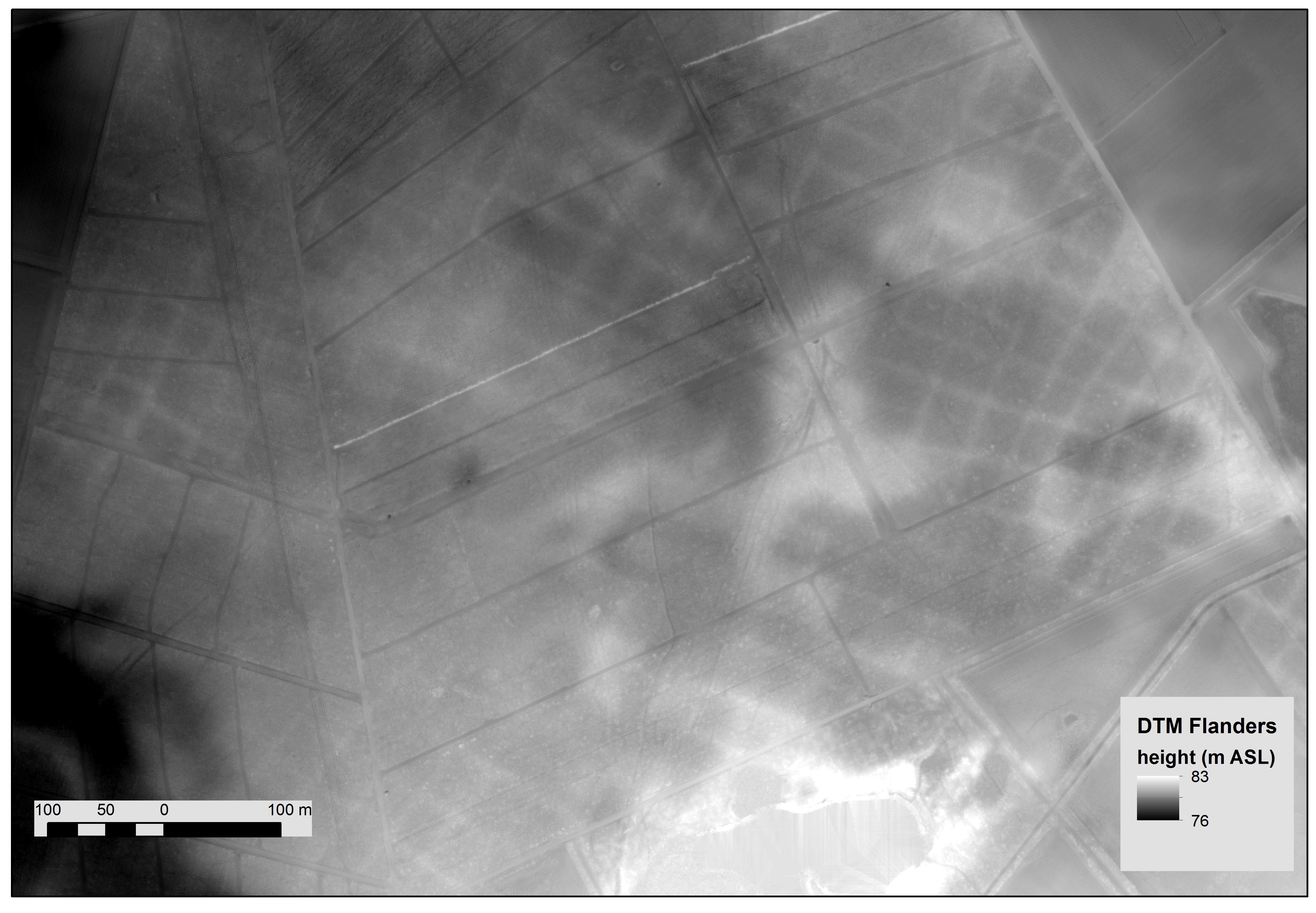
Remote sensing techniques provide non-invasive methods for detecting and mapping sites before any digging begins. These include satellite imagery, aerial photography, and geophysical prospection methods like ground-penetrating radar and magnetometry. Remote sensing data helps guide excavation strategies and contributes to landscape-scale archaeological analysis.