Excavation techniques for historical sites involve careful planning and systematic methods. Archaeologists use grid systems, mapping, and detailed documentation to record site layout and artifact locations. These practices ensure accurate spatial analysis and interpretation of colonial-era remains.
Stratigraphic excavation follows natural layers, revealing site history. Techniques like shovel test pits, troweling, and soil screening help recover artifacts. Specialized methods such as flotation and soil analysis provide additional data on past environments and human activities at colonial sites.
Site Preparation and Documentation
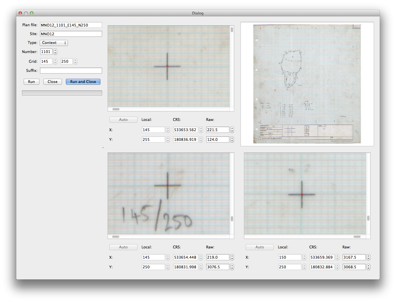
Establishing a Grid System and Mapping
- Grid system divides site into manageable units for systematic excavation
- Typically uses Cartesian coordinate system with alphanumeric designations
- Feature mapping records location and dimensions of archaeological features
- Includes structures, hearths, middens, and other significant elements
- Provenience documents precise location of artifacts and features within the grid
- Crucial for spatial analysis and understanding site formation processes
- Total station or GPS equipment often used for accurate mapping and provenience

Recording and Documenting the Site
- Field notes capture detailed observations, interpretations, and daily progress
- Include sketches, measurements, soil descriptions, and contextual information
- Site photography provides visual documentation of excavation process
- Includes overall site shots, feature close-ups, and in situ artifact photos
- Photogrammetry techniques create 3D models of site and features
- Drone photography offers aerial perspective for large-scale site documentation
- Detailed site plans and stratigraphic profiles complement photographic records
Excavation Techniques
Stratigraphic Excavation Methods
- Stratification refers to layered deposits representing different time periods or activities
- Excavation proceeds from top to bottom, following natural or cultural layers
- Each stratum carefully removed and documented separately
- Shovel test pits (STPs) used for initial site assessment and boundary determination
- Small, typically 50x50 cm or 1x1 m, excavated at regular intervals across site
- Provide quick overview of site stratigraphy and artifact distribution
- Troweling employed for precise excavation and artifact recovery
- Allows for careful removal of soil and exposure of features and artifacts
- Essential for delicate contexts like burials or fragile artifacts (ceramics, textiles)
Artifact Recovery and Soil Analysis
- Soil screening separates artifacts from excavated soil
- Uses mesh screens of varying sizes (1/4 inch, 1/8 inch, or smaller)
- Dry screening for most contexts, water screening for clay-rich or waterlogged soils
- Flotation technique recovers small organic remains (seeds, charcoal)
- Light fraction floats to surface, heavy fraction sinks in water
- Soil samples collected for chemical and environmental analysis
- Phosphate analysis indicates areas of human activity
- Pollen analysis provides information on past vegetation and climate